Beijing–Suiyuan Railway
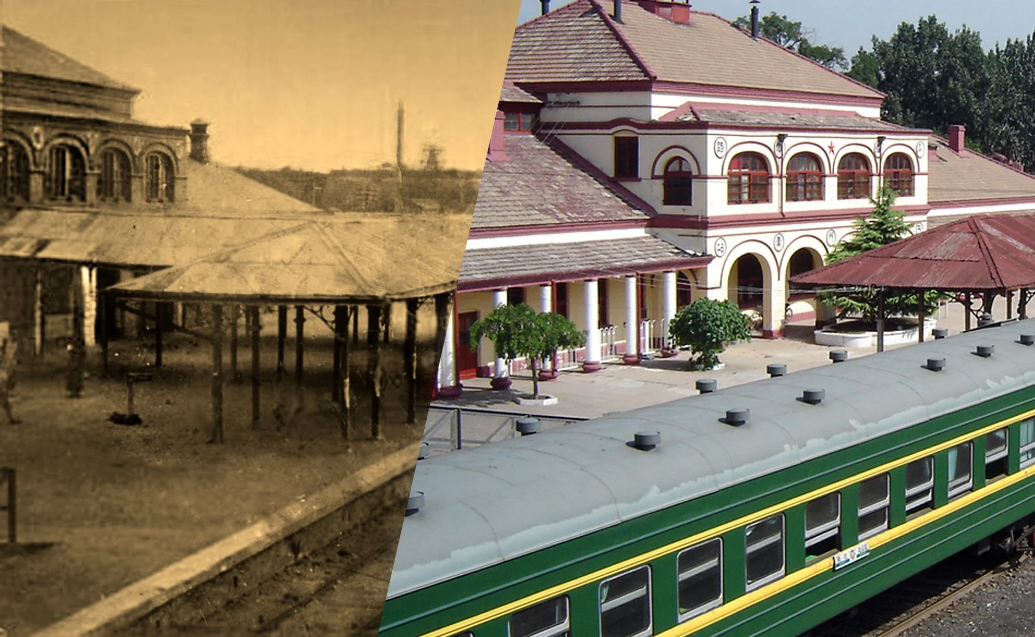
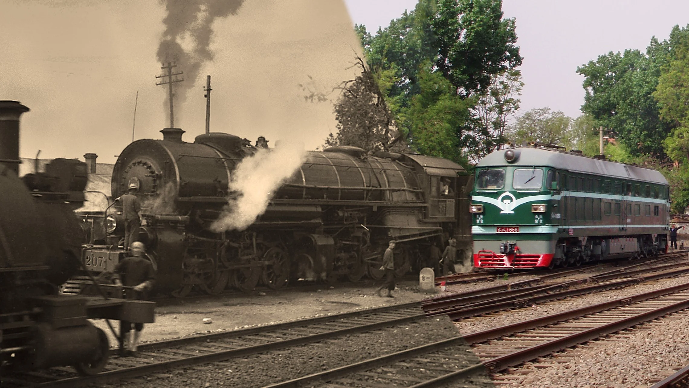
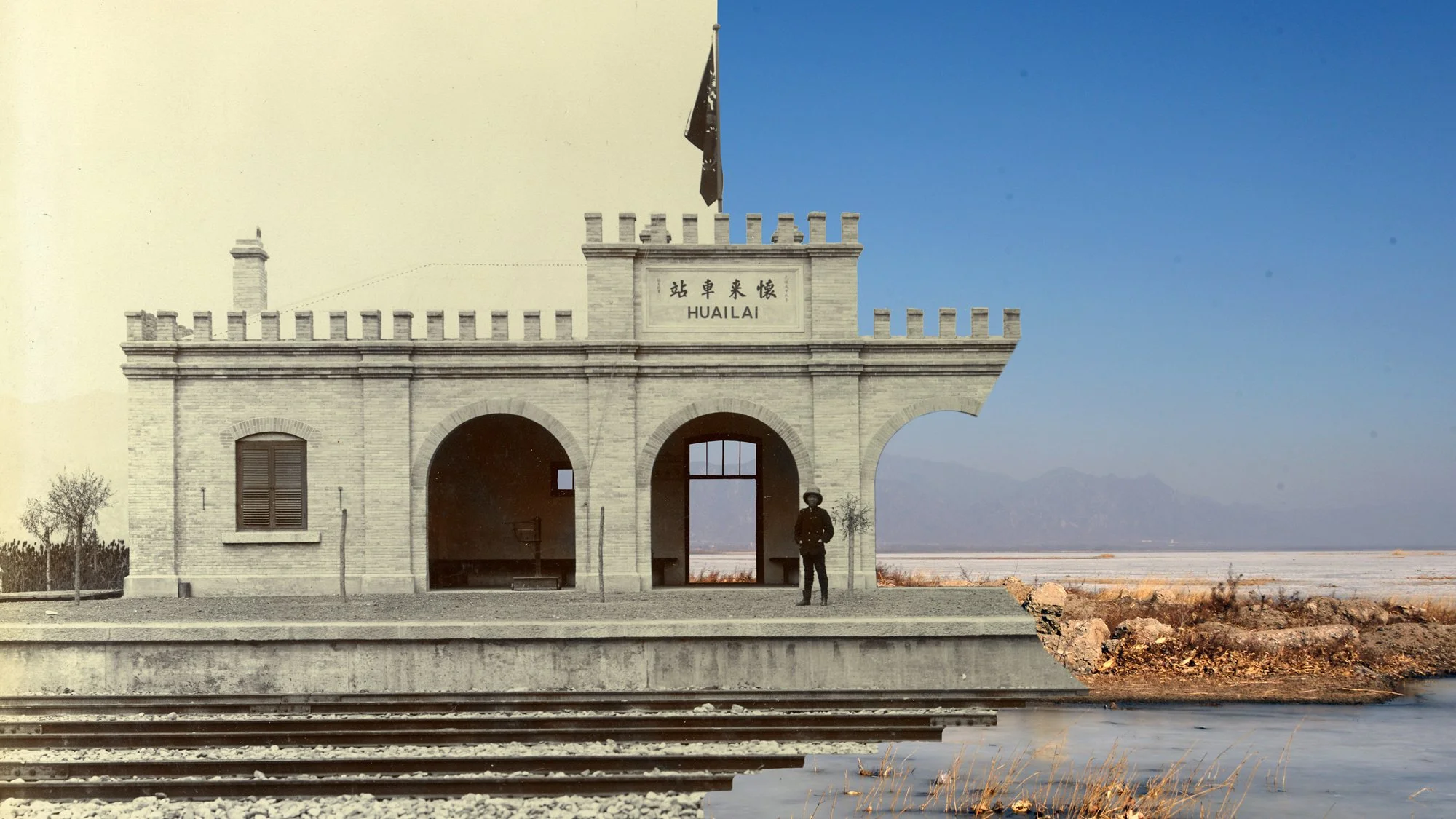
Following the theme of “Past and Present in the Same Frame,” this project traces the route of the Beijing–Suiyuan Railway and its later extensions, pairing century-old photographs and historical records with present-day views taken from the same locations. By comparing the same bridges, curves, and stations across time, it reconstructs the history of this important trunk railway, which extended westward from the Beijing–Zhangjiakou Railway and connected the North China Plain with the plateau regions beyond the Great Wall.
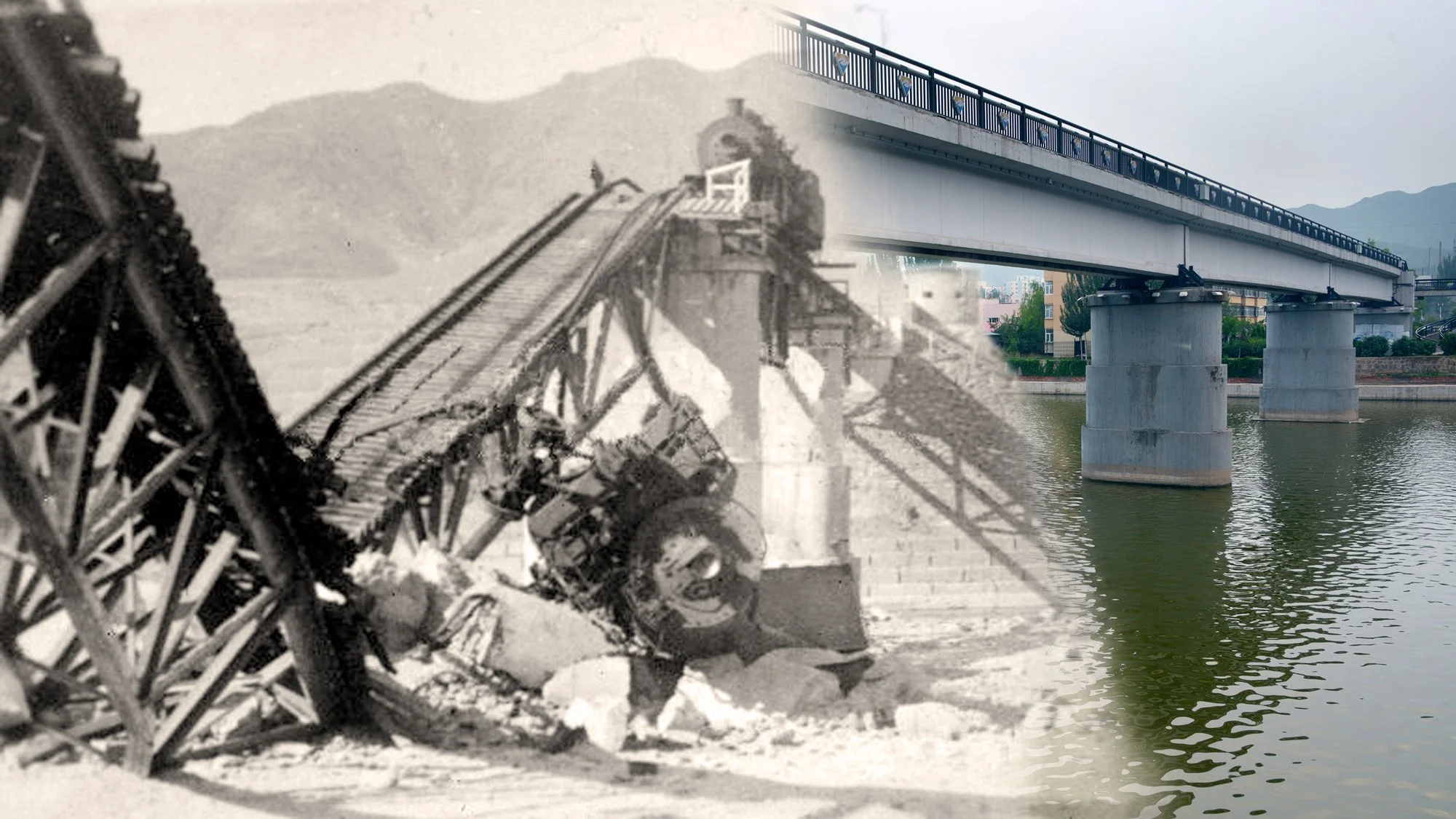
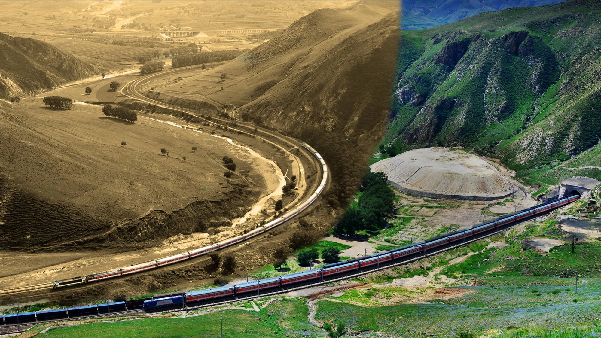
The Beijing–Suiyuan Railway began in Beijing and ran westward through Zhangjiakou, following the Ying River, Nanyang River, and Yu River. It passed through Chaigoubu, Tianzhen, Yanggao, Datong, Fengzhen, Pingdiquan, and Suiyuan, and was later extended to Baotou, bringing the total length to more than 600 kilometers. Along the route, the railway crossed numerous watersheds and river valleys, requiring extensive bridge and culvert construction. Major works such as the Yu River Bridge were among the most substantial steel bridges on the line. Through then-and-now comparisons, this webpage reexamines the places occupied by these bridges, tunnels, water-supply facilities, and locomotive depots within both the landscape and the wider transportation network.
In 1908, as the Beijing–Zhangjiakou Railway neared completion, the Qing government decided to use its remaining profits to continue construction westward as the Beijing–Suiyuan Railway. During the final years of the Qing dynasty and throughout the Republican era, however, construction was repeatedly suspended and resumed due to political upheaval, warfare, and shortages of funding. By 1921, the railway had reached Suiyuan, and it was subsequently extended to Baotou, ultimately becoming a major trunk line across northern China beyond the Great Wall. In tracing this complicated construction history, the project also compares historical records of route surveys, financing, loans, and engineering standards with landscapes and railway remains that can still be identified today.
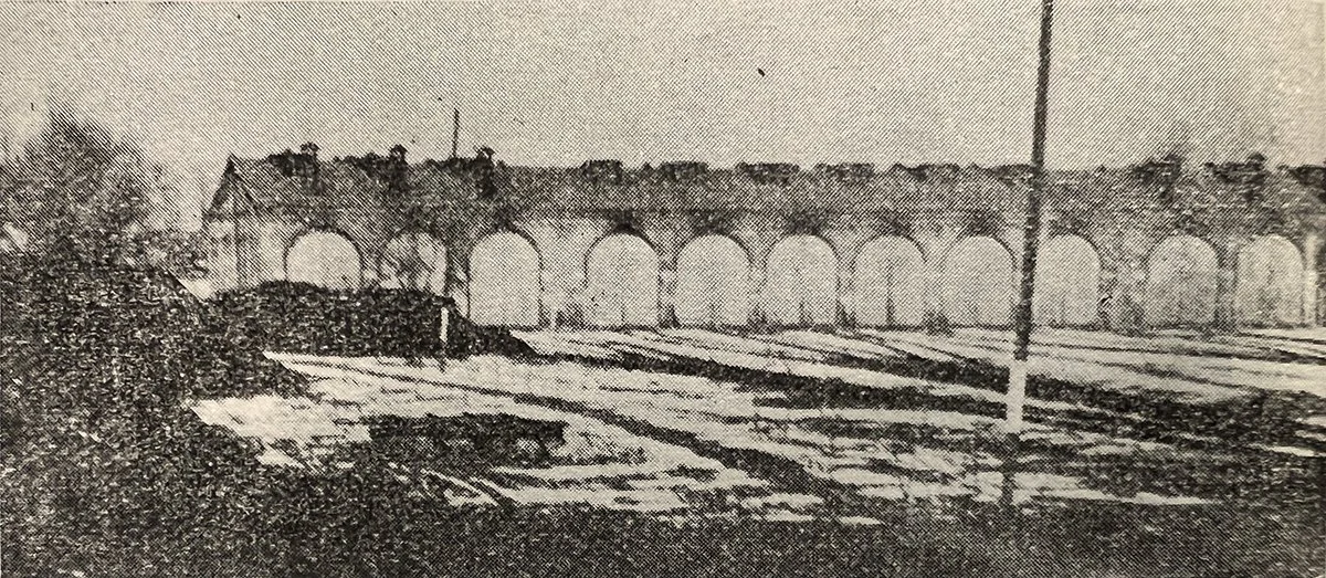
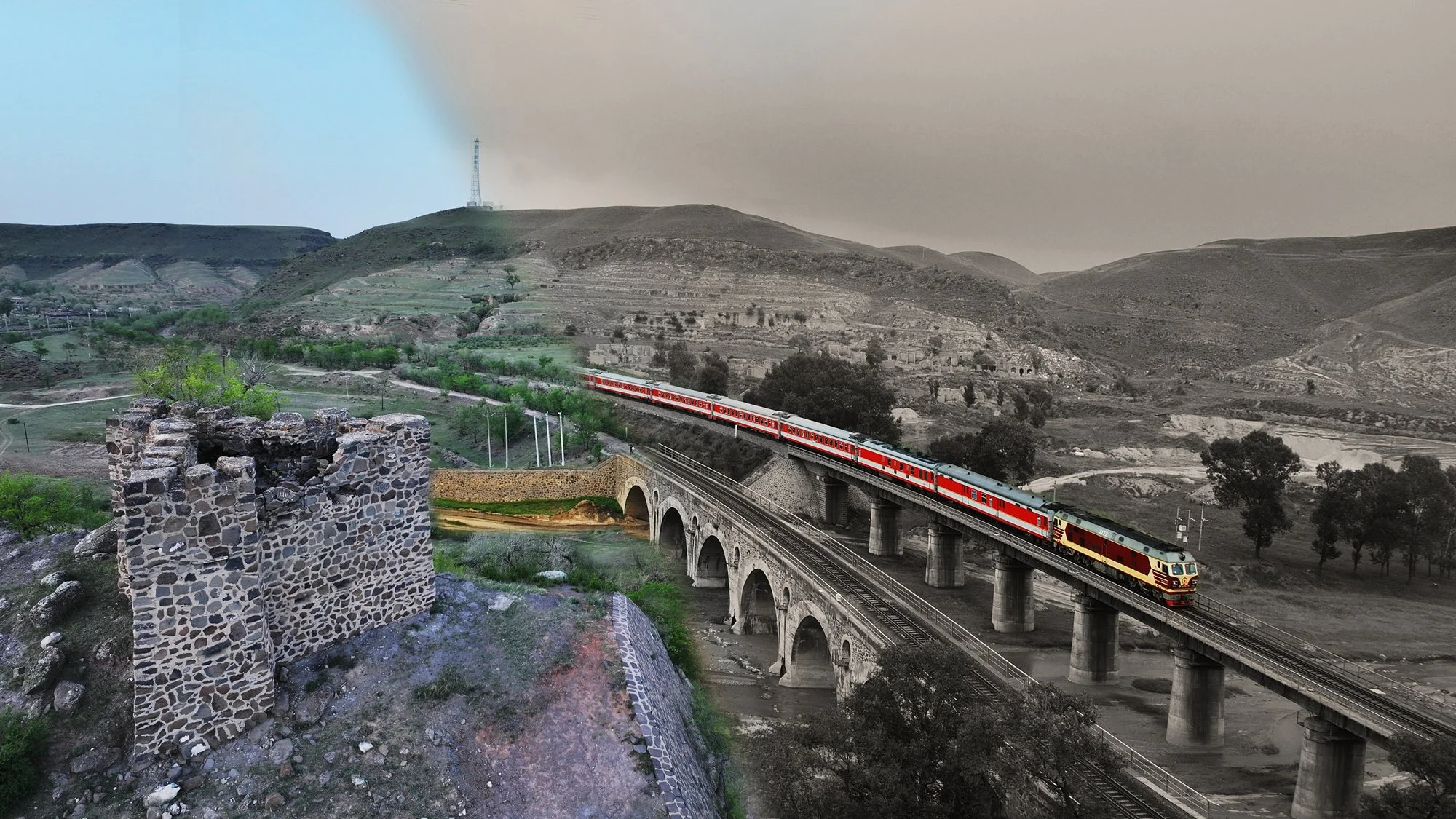
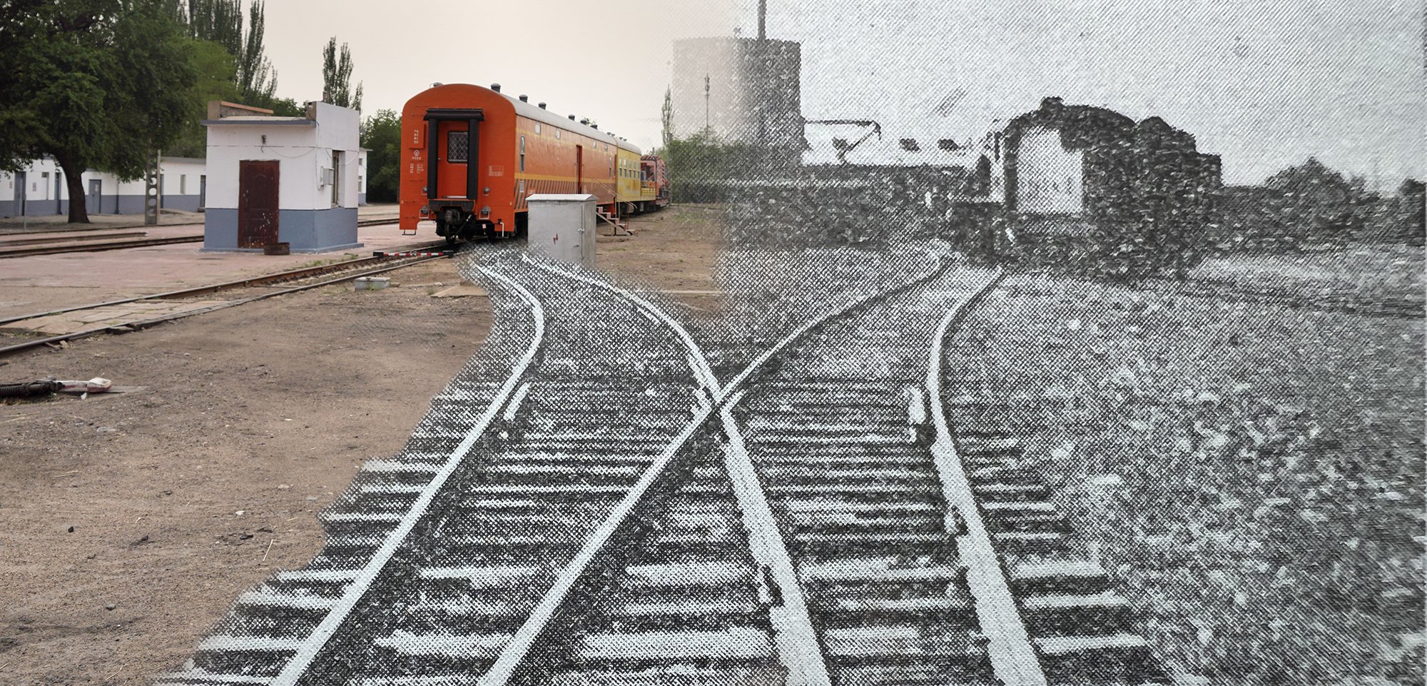
Stations including Kongjiazhuang, Tianzhen, Yanggao, Datong, Fengzhen, Pingdiquan, Suiyuan, and Baotou, together with water-supply stations and locomotive facilities at Chaigoubu, Shibatai, and Qixiaying, form key points in this visual journey between past and present. Some stations remain in operation, although their buildings and track layouts have long since been rebuilt. Other water towers, bridges, and locomotive depots survive only as ruins, while some have disappeared completely as a result of railway reconstruction and urban expansion. Through the juxtaposition of historic photographs with present-day views, readers can directly experience how a modern trunk railway transformed regional transportation over the course of a century, while its own physical appearance gradually changed almost beyond recognition.
This is not only a historical retrospective of the Beijing–Suiyuan Railway, but also a field-based survey and record of China’s early independently constructed long-distance trunk railways and their industrial heritage. It brings what might otherwise appear as merely “a line on a map” back into the mountains, rivers, towns, and cities through which it once passed, allowing the railway to be seen again, understood, and remembered.